


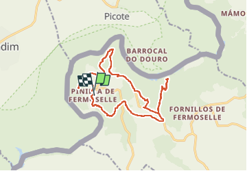

9.1 km | 10.4 km-effort


User


FREE GPS app for hiking
 SityTrail
IGN / Geographical institutes
SityTrail World
The world is yours!
Trail Walking of 19.5 km to be discovered at Castile and León, Unknown, Villar del Buey. This trail is proposed by taguette.
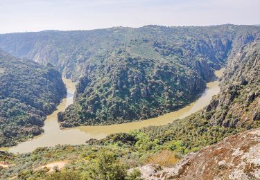
belle randonnée. Attention partie sans chemin!
On foot
On foot
On foot
On foot

Running